From a place to a digital twin.
Three ways to make a place digitally available. Which one fits depends on who will use the result.
A laser scan delivers measurements planners can work with. Google Street View puts you where people search: on the map. And a Matterport tour is the choice when people should experience the space — prospects, visitors, school groups.
Often the answer is a combination. We will tell you plainly when one service is enough for your case — and when the extra effort pays off.
01
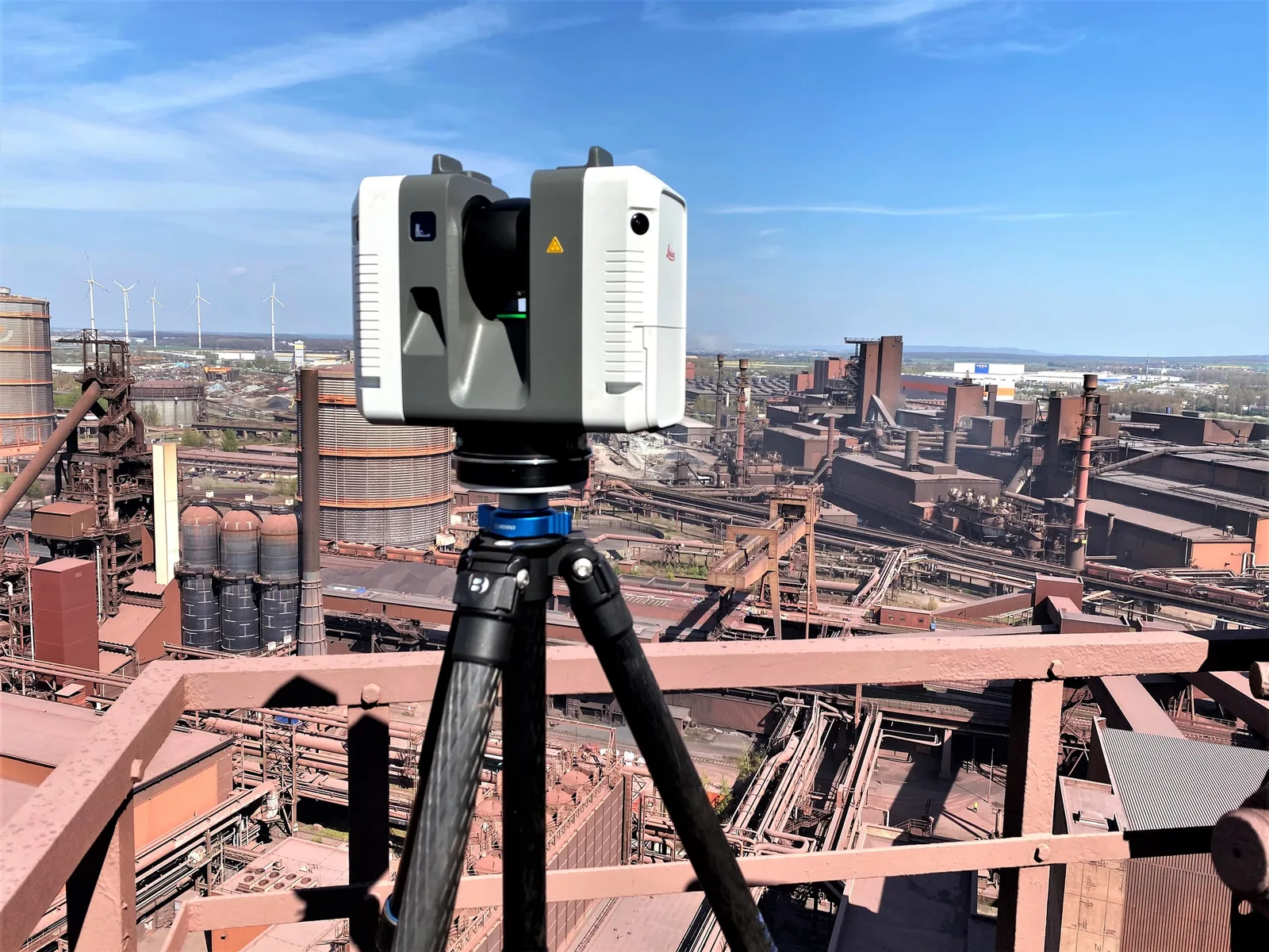
3D scanning & point clouds
Laser scanning, point clouds, BIM foundations. As-built documentation to the millimetre.
- Laser scanner
- Leica RTC360
- Accuracy
- 1.9 mm at 10 m
- Panoramas
- 432 megapixel HDR per station
02
Google Street View
Indoor imagery and blue lines for your business — findable directly in Google Maps.
- Result
- 360° views in Google Maps
- Scope
- Interiors, grounds, pathways
- Visibility
- Maps, Google Search, business profile
03
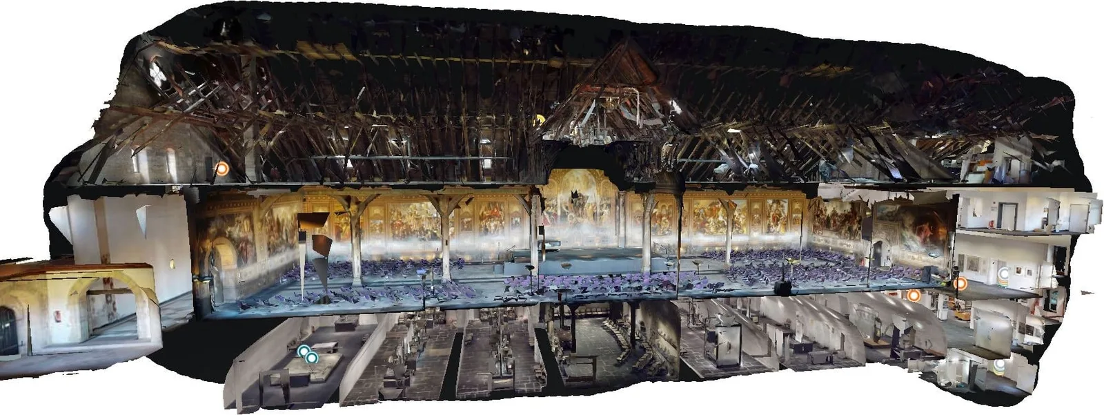
Matterport virtual tour
A walkable twin with floor plan, dollhouse view and measurement. For real estate, hotels, museums, industry.
- Equipment
- Matterport Pro2 · Pro3
- Deliverables
- Tour, floor plan, measurements
- Price
- Fixed price per project



What fits when?
The short version. For your case we would rather advise you in person.
| Service | You get | Best when |
|---|---|---|
| 3D scanning & point clouds | Point cloud, floor plan and BIM basis in E57, XYZ, OBJ or PDF | Planners work with measurements — millimetre-accurate instead of estimated |
| Google Street View | 360° views in Google Maps, in your business profile and in search | You want to be found where people search: on the map |
| Matterport virtual tour | A walkable tour with floor plan, dollhouse view and measuring function | People should experience the space — prospects, visitors, school groups |
Not sure what fits your site?
Describe your project briefly. You get a recommendation, not a catalogue.